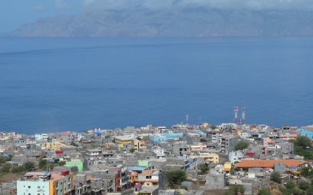
Brava Island: geological structure and historical evolution of rocks
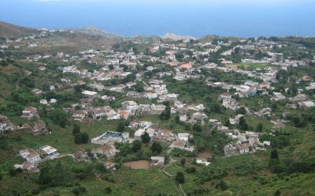
Ilha Brava is one of the ten islands that make up the Cape Verde archipelago, located in the Atlantic Ocean, west of the African coast. Geologically, the island is formed by volcanic rocks, resulting from volcanic activity that has occurred over millions of years.
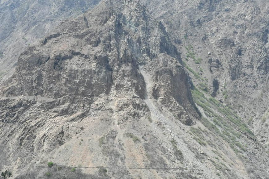
Ilha Brava is one of the ten islands that make up the Cape Verde archipelago, located in the Atlantic Ocean, west of the African coast. Geologically, the island is formed by volcanic rocks, resulting from volcanic activity that has occurred over millions of years.
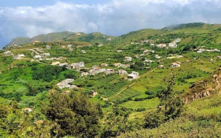
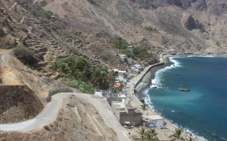
The island is characterized by having an almost circular shape, with a diameter of approximately 10 km, and a maximum altitude of 976 meters at the top of Monte Fontainhas, which is the highest point on the island. The landscape is dominated by a large volcanic caldera, which was formed around 400,000 years ago. The caldera is about 6 km in diameter and is surrounded by walls of igneous rock, including basalt and tephra.
Volcanic activity on Ilha Brava continued until around 120,000 years ago, with the formation of several volcanic cones and eruptive fissures. Some of these cones are still visible in the current landscape, such as Monte Verde and Monte Pico, which have altitudes of 890 meters and 800 meters, respectively. Rocks formed by these eruptions include basalt, trachyte, and phonolite.
The island also features evidence of undersea volcanic activity, with exposed undersea rock formations in some coastal areas. In addition, Ilha Brava is affected by intense seismic activity, with several earthquakes being regularly recorded in the region.
In summary, Ilha Brava in Cape Verde is a volcanic island with a large central caldera, several volcanic cones and eruptive fissures, and igneous rocks such as basalt, trachyte and phonolite. Volcanic and seismic activity continue to affect the island to this day.
Photo: Aurelio Spinola


